Built For
Your Success.
We tailor every survey to what you actually need. Jump to your sector below.
Capture, showcase, and manage your campus from above.
🎓Schools & Universities
From primary schools to university campuses, we provide drone-based spatial data for marketing, facilities management, safety planning, and long-term archiving.
Our real example: School orthophoto
Get a Quote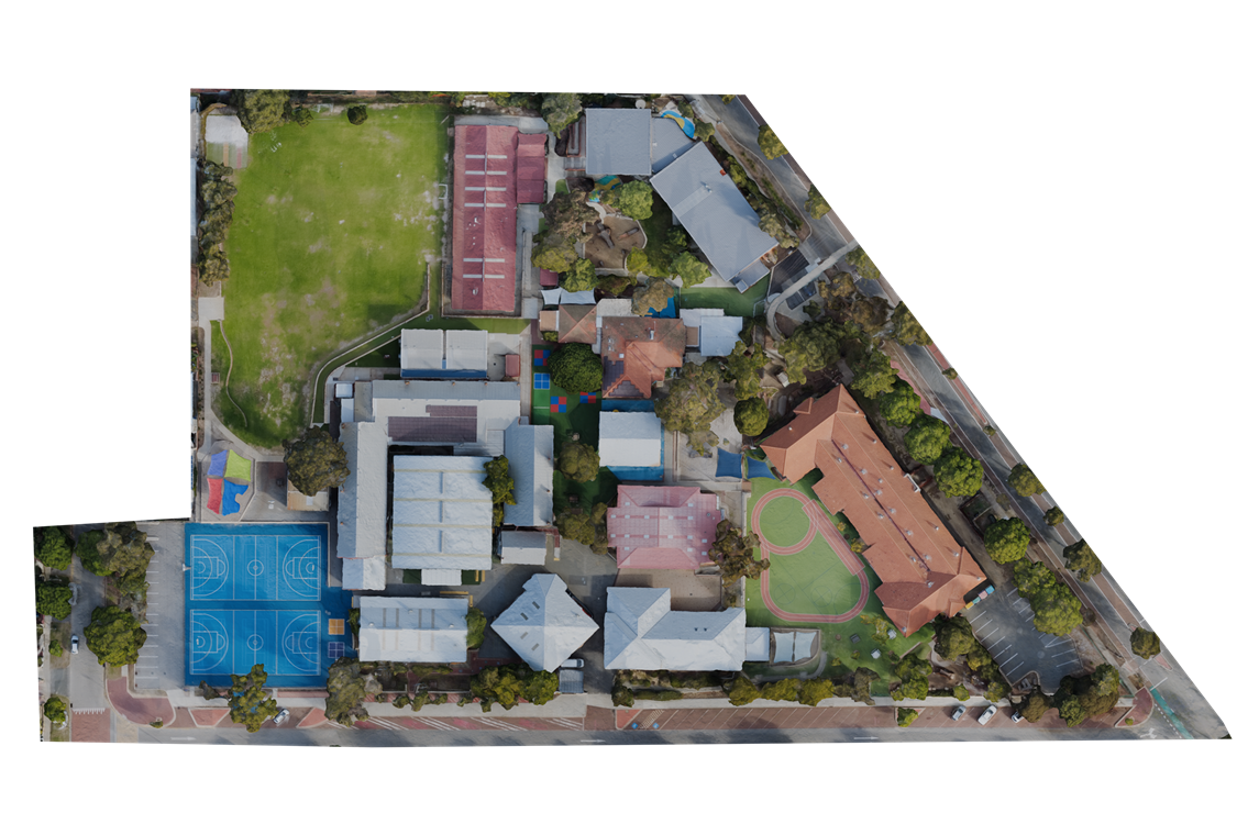
Precision data for turf managers and course architects.
⛳Golf Courses
Detailed aerial intelligence for course management, irrigation planning, and showcasing your course to members and prospective visitors online.
Our real example: Coming Soon
Get a QuoteStand out in a crowded market with spatial intelligence.
🏡Real Estate
Whether you're selling a family home or developing a subdivision, we provide aerial data that strengthens marketing campaigns, supports development applications, and adds measurable value to every listing.
Our real example: Mount Hawthorn street orthophoto
Get a Quote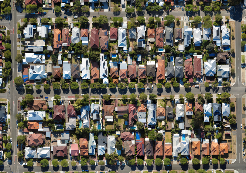
From botanical gardens to public reserves — managed from above.
🌿Parks & Councils
Councils, parks authorities, and botanical gardens use our data to showcase their spaces, plan land use, and maintain assets more efficiently.
Our real example: Soccer stadium orthophoto
Get a Quote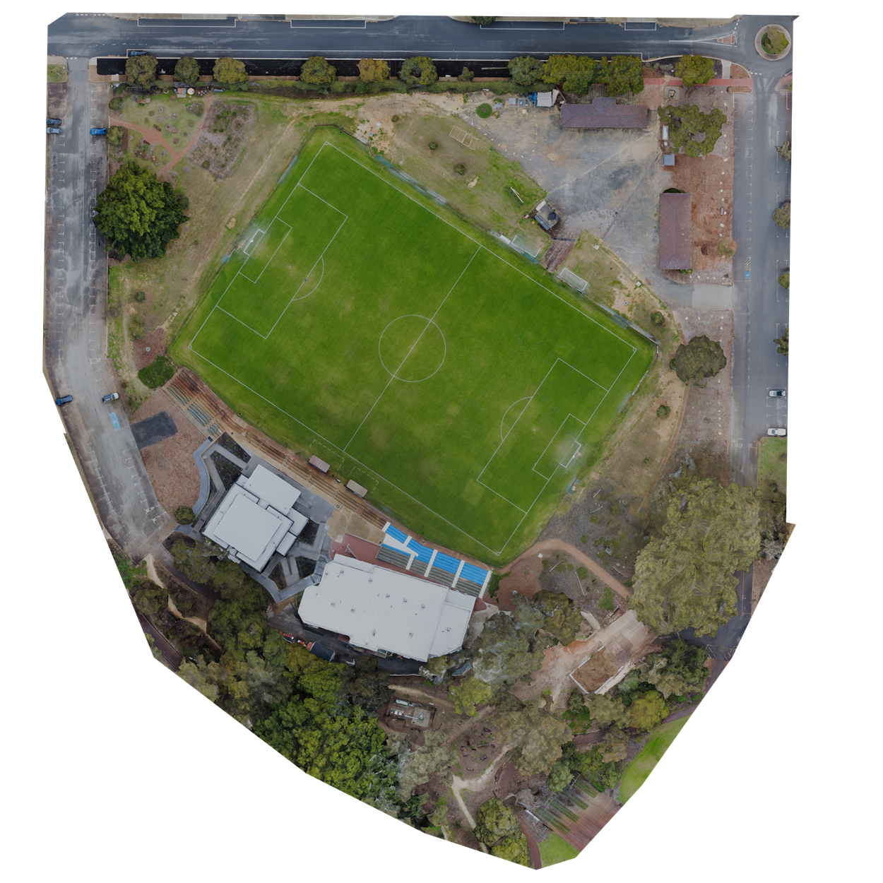
Our Products
Every project draws from our experience and expertise to find solutions to suit your needs.